Irrigation Sciences and Engineering

Irrigation Sciences and Engineering

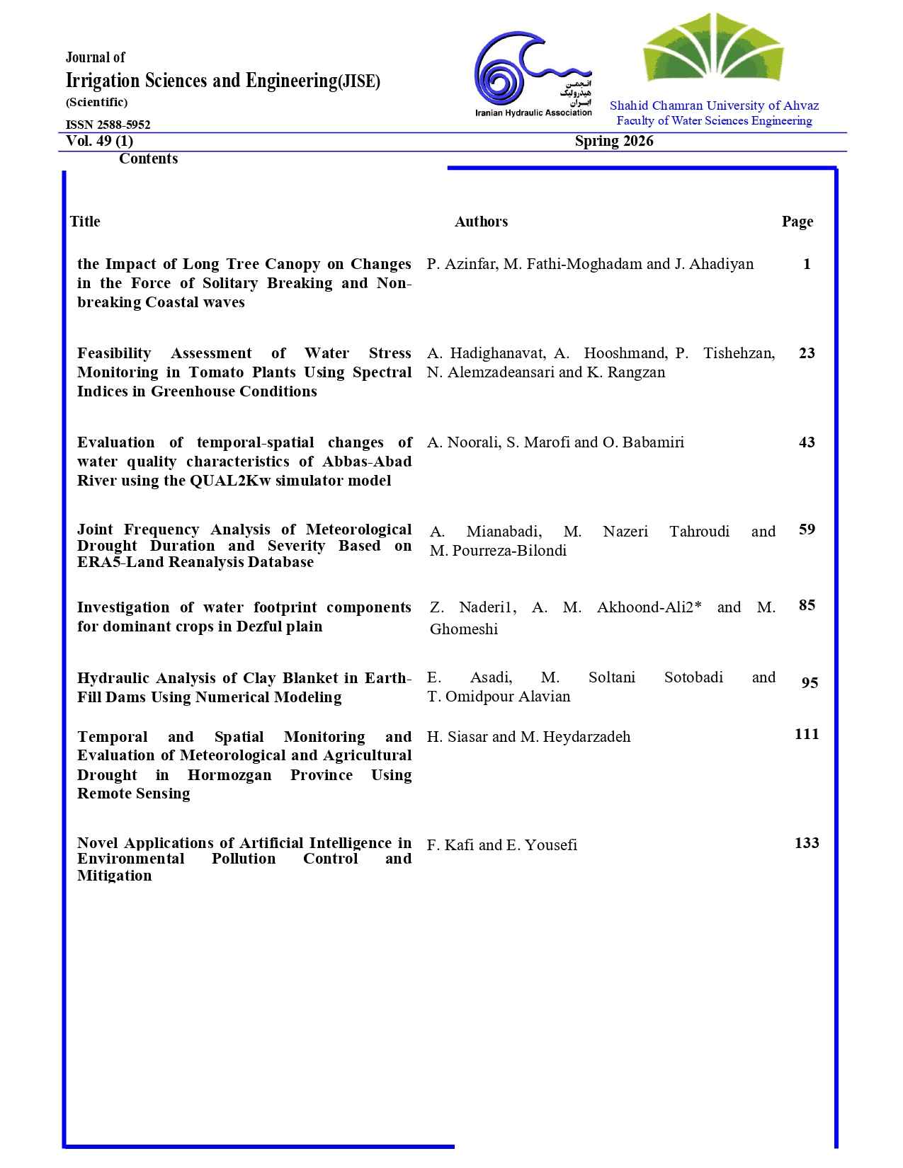
Temporal and Spatial Monitoring and Evaluation of Meteorological and Agricultural Drought in Hormozgan Province Using Remote Sensing

Document Type : Research Paper

Authors
1 Asistant Professor of Department of Agircultural, Payame Noor University, Tehran, Iran.
2 Assistant professor, Department of water engineering, Faculty of Agriculture, Minab higher Education center, University of Hormozgan.Iran
Abstract
Drought has intensified in arid and semi-arid regions in recent decades, posing serious challenges to water resources and agriculture. This study assessed agricultural and meteorological drought in Hormozgan Province using Google Earth Engine and MODIS-derived indices from 2000 to 2022. NDVI, VCI, VHI, and SVI were used for agricultural drought, while TCI, PDSI, SPI, and PCI were applied for meteorological drought assessment. The results showed significant trends in VCI and VHI, as well as in PDSI and SPI, across the studied stations. Jask and Hajiabad stations exhibited significant positive trends at the 99% confidence level for VCI, VHI, PDSI, and SPI, while Minab showed similar trends for VHI, PDSI, and SPI. The findings indicated that much of the province is affected by severe to very severe drought. Overall, the combined use of satellite-based and ground-based meteorological indices provides an effective approach for monitoring drought, although index performance depends on local climatic, topographic, vegetation, and soil conditions.
Keywords
Subjects

  • Adib, A., Kisi, O., Khoramgah, S., Gafouri, H. R., Liaghat, A., Lotfirad, M. and Moayyeri, N., 2021. A new approach for suspended sediment load calculation based on generated flow discharge considering climate change. Water Supply, 21(1), 2400-2414. rg/10.2166/ws.2021.069.


  • Amiri, M., Ebrahimi, M. and Aminirakan, A., 2019. Simulation of climate change effects on potato crop yield using AquaCrop plant growth model. Irrigation and Water Engineering, 9(3), 125-142. Doi: 10. 2125/IWE.2019.88677. (In Persian).


  • Azderi, Z., Bazarafshan, A., Bazarafshan, J., Shekari, M. and Zamani, H., 2019. Meteorological drought monitoring in Hormozgan province based on statistical and probabilistic multivariate indicators. Dry Bom Scientific Journal. 10(2). 1-17. Doi: 10. 9252/ARIDBIOM.2021.15258.1821. (In Persian).


  • Abdolalizadeh, Z., Ghorbani, A., Mostafazadeh, R. and Moameri, M., 2020. Rangeland canopy cover estimation using Landsat OLI data and vegetation indices in Sabalan rangelands, Iran. Arabian Journal of Geosciences, 13(6), p.245.DOI:1007/ s12517-020-5150-1.


  • Abbaszadeh, M., Bazrafshan, O., Mahdavi, R., Sardooi, E. R. and Jamshidi, S., 2023. Modeling Future Hydrological Characteristics Based on Land Use/Land Cover and Climate Changes Using the SWAT Model. Water Resources Management, 37, 4177–4194. https://api.semanticscholar.org/CorpusID:259055006.


  • Baagideh, M., Inteziri, A. and Shoja, F., 2011. Investigating the occurrence of different degrees of heat stress in the coasts of southern Iran. Geography and Environmental Sustainability. 2(1). 55-68. https://ges. azi.ac.ir/article_173.htm. (In Persian).


  • Bazrafshan, J., Hejabi, S. and Rahimi, J., 2014. Drought monitoring using the multivariate standardized precipitation index (MSPI). Water Resources Management, 28(4), 1045–1060. rg/10.1007/s11269-014-0533-2.


  • Bazrafshan, J., Nadi, M. andGhorbani, K., 2015. Comparison of empirical copulabased joint deficit index (JDI) and multivariate standardized precipitation index (MSPI) for drought monitoring in Iran. Water Resources Management, 29(6), 2027- 2044. DOI:10. 007/s11269-015-0926-x.


  • Dehban, H., Ebrahimi, K. and Araghinejad, S., 2015. Introduction and assessment of a new drought monitoring index, mrdi – case study: gorganroud basin, iran. Iranian Journal Of Soil and Water Research, 46(1), 19-30. Doi: 10. 2059/IJSWR.2015.54292. (In Persian).


  • Dehkordi, R.M., Yadegari, M. and Hamedi, B., 2015. Effect of temperature, drought and salinity stresses on germination of Portulaca oleracea L., Trigonella foenum-graecium L., Borago officinalis L. and Hypericum perforatum L. Advances in Environmental Biology, 9(4), 148-152. Doi:. 0/1.1017/332553 610.


  • Deniz, A., Toros, H. and RnIncecik, S., 2011. Spatial Variations of Climate Indices in Turke. International Journal of Climatology. 31(5), 394–403. DOI: 10. 002/joc.2081.


  • Du, L., Tian, Q., Yu, T., Meng, Q., Jancso, T., Udvardy, P. and Huang, Y., 2013. A comprehensive drought monitoring method integrating MODIS and TRMM data. International Journal of Applied Earth Observation and Geoinformation, 23(8), 245–253. rg/10.1016/j.jag.2012.09.010.


  • Farajzadeh, M. and Ahmadian, K., 2014. Temporal and Spatial Analysis of Drought with use of SPI Index in Iran. Journal of Natural Environmental Hazards, 3(4), 1–16. Doi: 10. 2111/JNEH.2014.2464. (In Persian).


  • Feng, P.Y., Wang, B., Liu, D.L and Yu, Q., 2019. Machine Learning-Based Integration of Remotely-Sensed Drought Factors Can Improve the Estimation of Agricultural Drought in South-Eastern Australia. Agricultural Systems, 173(4), 303–316. DOI: 10. 016/j.agsy.2019.03.015.


  • Gholampoor, M., Khosroshahi, M. and Barkhordari, J.m 2009. Determination of desert domains of Hormozgan province using geomor phological criteria. Iranian Journal of Range and Desert Research, 15(4), 485-492. https://ijrdr. reeo.ac.ir/article_104400.html ?lang=en [In Persian].


  • Gorelick, N., Hancher, M., Dixon, M., Ilyushchenko, S., Thau, D. and Moore, R., 2017. Google Earth Engine: Planetary-scale geospatial analysis for everyone. Remote Sensing of Environment, 202(3), 18–27. rg/10.1016/j.rse.2017.06.031.


  • Han, H.; Bai, J., Yan, J., Yang, H. and Ma, G., 2019. A combined drought monitoring index based on multi-sensor remote sensing data and machine learning. Geocarto International, 36(3), 1-16.doi: 1080/10106049.2019.1633 423.


  • Hao, Z. and AghaKouchak, A., 2013. Multivariate standardized drought index: a parametric multi-index model. Advances in Water Resources, 57(7), 12-18. doi. rg/10.1016/j.advwatres.2013.03.009.


  • Heydarzadeh, M., 2023. 'Evaluation of the correlations of plant indices with atmospheric and biological variables using the Google Earth Engine', Journal of Water and Soil Conservation, 30(2), pp. 1-26. doi: 10.22069/jwsc.2023.20667.3584 (In Persian).


  • Khalili, R., Zali, A. and Motaghi, H., 2021. Evaluation of heavy metals in water and sediments of Haraz river, using pollution load index (PLI) and geoaccumulation index (Igeo). Iranian Journal of Soil and Water Research, 52(4), 933-942. doi: 10. 2059/IJSWR.2021 .316080.668850. (In Persian).


  • Kogan, F.N., 1995a. Droughts of the late 1980a in the United States as derived from NOAA polar-orbiting satellite data. Bulletin of the American Meteorological Society, 76(5), 655–668.Doi:10.1175/1520-0477(1995)076 <0655.


  • Kogan, F. N., 1995b. Application of vegetation index and brightness temperature for drought detection. Advances in Space Research, 15(11), 91–100. org/10.1016/0273-1177(95)00079-T.


  • Köppen, V. and Geiger, R., 1930. Handbuch der Klimatologie, 5 Vols.; Gerbrüder Borntraegar: Berlin, Germany, Climatology, p44.Kukunuri, A.N., Murugan, D. & Singh, D. (2022). Variance based fusion of VCI and TCI for efficient classification of agriculture drought using MODIS data. Geocarto International, 37(10): 2871-2892. rg/10.1080/10106049.2020.1837256.


  • Lotfirad, M., Esmaeili-Gisavandani H. and Adib, A., 2022. Drought monitoring and prediction using SPI, SPEI, and random forest model in various climates of Iran. Journal of Water and Climate Change. 13(2), 383-406. doi: 10. 166/wcc.2021.287.


  • Lotfrad, M., Adib, A., Salehpoor, J., Ashrafzadeh, A. and Kisi, O., 2021 Simulation of the impact of climate change on runof, and drought in an arid and semiarid basin (the Hablehroud, Iran). Applied Water Science, 11(10):168-183. rg/10.1007/s13201-021-01494-2.


  • Merabti, A., Darouich, H., Paredes, P., Meddi, M. and Pereira, L.S., 2023. Assessing Spatial Variability and Trends of Droughts in Eastern Algeria Using SPI, RDI, PDSI, and MedPDSI—A Novel Drought Index Using the FAO56 Evapotranspiration Method. Water, 15(4), 1-19. rg/10.3390/w15040626.


  • Moisa, M.B., Merga, B.B. and Gemeda, D.O., 2022. Multiple indices-based assessment of agricultural drought: A case study in Gilgel Gibe Sub-basin, Southern Ethiopia. Theoretical and Applied Climatology, 148(1), 455–464. rg/10.1007/s00704-022-03962-4.


  • Moreno-de-Las-Heras, M., Bochet, E., Vicente-Serrano, S. M., Espigares, T., Molina, M. J., Monleón, V., Nicolau, J. M., Tormo, J. and García-Fayos, P., 2023. Drought conditions, aridity and forest structure control the responses of Iberian holm oak woodlands to extreme droughts: A large-scale remote-sensing exploration in eastern Spain. The Science of the Total Environment, 901, 165887.https://doi.org/10.1016/j.scitotenv.2023.165887.


  • Navabi, N., Moghaddasi, M. and Gangi, N., 2021. Assessment of Agricultural Drought Monitoring Using Various Indices based on Ground-based and Remote Sensing Data (Case Study: Lake Urima Basin). Watershed Engineering and Management, 13(1): 1-12. Doi:org/10. 2092/ijwmse.2020.126860.1684. (In Persian).


  • Nahavandi, N. and Ahmadian, A., 2019. Dynamic Analysis of Water Demand; Case Study of Qom City. Iran-Water Resources Research, 15(1), 372–377.


  • Pei, F., Wu, C., Liu, X., Li, X., Yang, K., Zhou, Y., Wang, K., Xu, L. and Xia, G., 2018. Monitoring the vegetation activity in China using vegetation health indices. Agricultural and Forest Meteorology, 248(17), 215–227. rg/10.1016/j.agrformet.2017.10.001.


  • Paroon, S., Yavari, G. and Rezazadeh, M., 2019. Climate classification of Hormozgan province using classical methods. Geography (Regional Planning), 8(33), pp. 115-127. doi:20.1001.1.22286462.1397.9.1.8.8 (In Persian).


  • Prajapati, V.K., Khanna, M., Singh, M., Kaur, R., Sahoo, R.N. and Singh, D.K., 2022. PCA–based composite drought index for drought assessment in Marathwada region of Maharashtra state, India. Theoretical and Applied Climatology. 149(4), 207–220. DOI:1007/ s00704-022-04044-1.


  • Qu, C., Hao, X. and Qu, J.J., 2019. Monitoring Extreme Agricultural Drought over the Horn of Africa (HOA) Using Remote Sensing Measurements. Remote Sensing. 11(8): 902. https://doi.org/10.3390/rs11080902


  • Raziei, T., 2022. Climate of Iran according to Köppen-Geiger, Feddema, and UNEP climate classifications. Theor. Theoretical and Applied Climatology, 148(3-4), 1395–1416. Doi:10.1007/s00704-022-03992-y.


  • Rhee, J., Im, J. and Carbone, G.J., 2010. Monitoring Agricultural Drought for Arid and Humid Regions Using Multi-Sensor Remote Sensing Data. Remote Sensing of Environment, 114(12), 2875–2887. org/10.1016/j.rse.2010.07.005.


  • Rafiei Sardooi, E., Bazrafshan, O. and Jamshidi, S., 2023. Modeling the water security in a watershed using the water footprint concept and water scarcity indicators. Water Supply, 24(1), 235–253. https://doi.org/10.2166/ws.2023.323


  • Sepulcre-Canto, G., Horion, S., Singleton, H., Carrao, H. and Vogt, J., 2012. Development of a Combined Drought Indicator to detect agricultural drought in Europe. Natural Hazards and Earth System Sciences, 12(11), 3519–3531. org/10.5194/nhess-12-3519-2012.


  • Srivastava, P., Dey, S., Agarwal, P. and Basil, G., 2014. Aerosol characteristics over Delhi national capital region: a satellite view. International Journal of Remote Sensing, 35(13), pp.5036-5052.https://doi.org/10.1080/01431161 .2014.934404


  • Taheri Qazvini, A. and Carrion, D. A., 2023. Spatiotemporal Drought Analysis Application Implemented in the Google Earth Engine and Applied to Iran as a Case Study. Remote Sensing Journal. 2023, 15, p:26. 2218. https://doi.org/ 10.3390/rs15092218.


  • Taheri Dehkordi, A., Valadan Zoej, M. J., Ghasemi, H., Jafari, M. and Mehran, A., 2022. Monitoring Long-Term Spatiotemporal Changes in Iran Surface Waters Using Landsat Imagery. Remote Sensing, 14 (18). https://doi.org/10.3390/rs14184491


  • Yang, M., Xiao, W., Zhao, Y.,  Li, B.,  Wang, Y.,  Yang, H.  and Hou, B., 2018.  The applicability of A Modified Palmer Drought Severity Index on Agricultural Drought Evaluation in the North China. MATEC Web of Conferences( International Symposium on Water System Operations (ISWSO 2018), P:1-7. https://doi.org/10.1051/matecconf /201824602002.
Volume 49, Issue 1
Spring 2026
Pages 111-131

  • Receive Date 05 June 2024
  • Revise Date 04 January 2025
  • Accept Date 26 January 2025
  • Publish Date 05 May 2026